Our land surveyors and geospatial professionals are respected experts in traditional Land Surveying services as well as trailblazers in 3-Dimensional modeling technologies. Clients know that they can rely on us to provide expedient, inventive, and effective solutions. Above all, our first commitment is to safety, our field teams undergo rigorous in-house safety training and are OSHA HAZWOPER (Hazardous Waste Operations and Emergency Response) certified.
Clients trust in our Land Survey team for excellence in providing Boundary and ALTA/NSPS Land Title Surveys, Topography, Subdivisions and Construction Surveying Services. Governmental Bodies, Developers, Title Companies, Attorneys and even our peers seek out our industry-wide respected opinions.
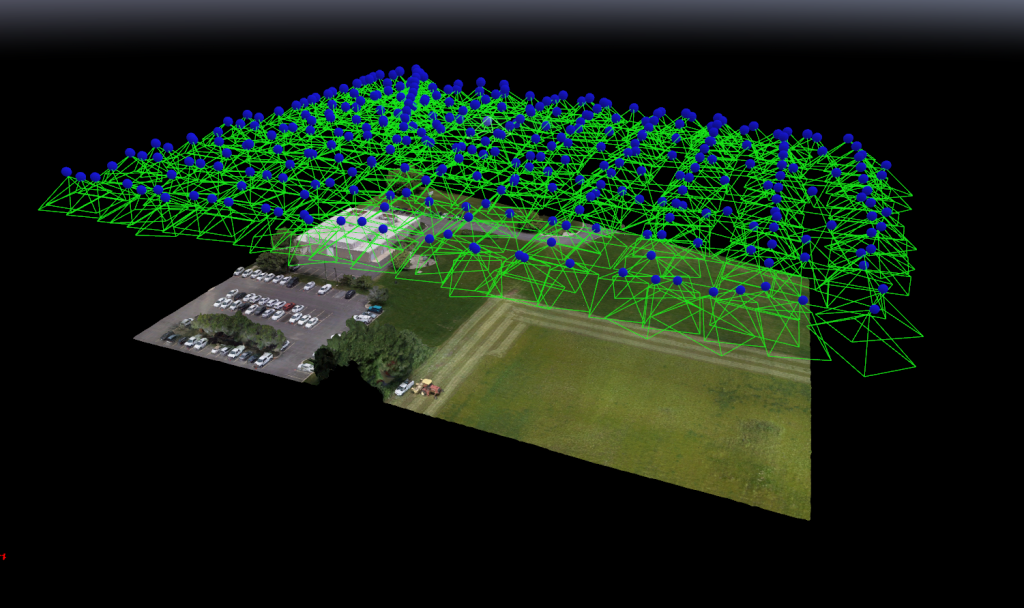
We are an industry innovator in the use of Unmanned Aerial Vehicles (drones) for site and infrastructure modeling. Whether your site is 1 or 2,000 acres, we have the aircraft and expertise to capture, model your site, and produce precise deliverables.
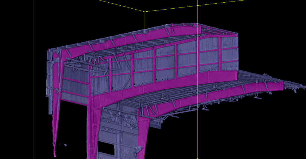
We utilize 3D laser scanning to render complex projects and map sites that are not accessible by traditional means. Structural and architectural BIM (Building Information Modeling) surveys accomplished by scanning efficiently yields levels of detail with unparalleled accuracy.